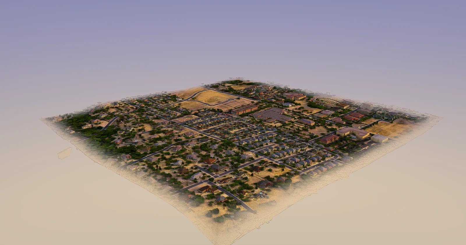
GeoFrame builds a measured 3D model of any neighborhood from LiDAR, footprints, streets, trees and water. Study massing, check sun and shadow, bring in your CAD and share it, all in a browser. Click any building for its owner of record, parcel number, lot size and zoning.
Pick a square of the map. Get it back as real 3D topography.
You choose the ground; GeoFrame does the modelling. It turns the square you select into a measured 3D model of the terrain and everything standing on it, built from public data with nothing traced by hand.
01
Pick a square
Drag a square on the map anywhere the public data reaches, from 500 m to 2 km a side. Ask for up to 64 of them, 256 km², in one request.
02
GeoFrame builds the topography
USGS LiDAR becomes real terrain: hills, valleys, creeks and coastline. Buildings rise to their measured heights, with streets, trees and water laid on top.
03
Explore and export it
Fly over it, drop to street level, turn the sun and measure, all in the browser. Bring in your own CAD in 10 formats, and export images, video or a .glb model.
WATCH A DISTRICT GET MADE
From a square on the map to a district you can explore and edit
GeoFrame · Build a district anywhere
2 × 2 km · building district…
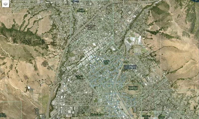
01Select an area on the map Drag a square over any neighborhood on the satellite map. Each side snaps to whole 16 m lots, from 500 m up to 2 km.
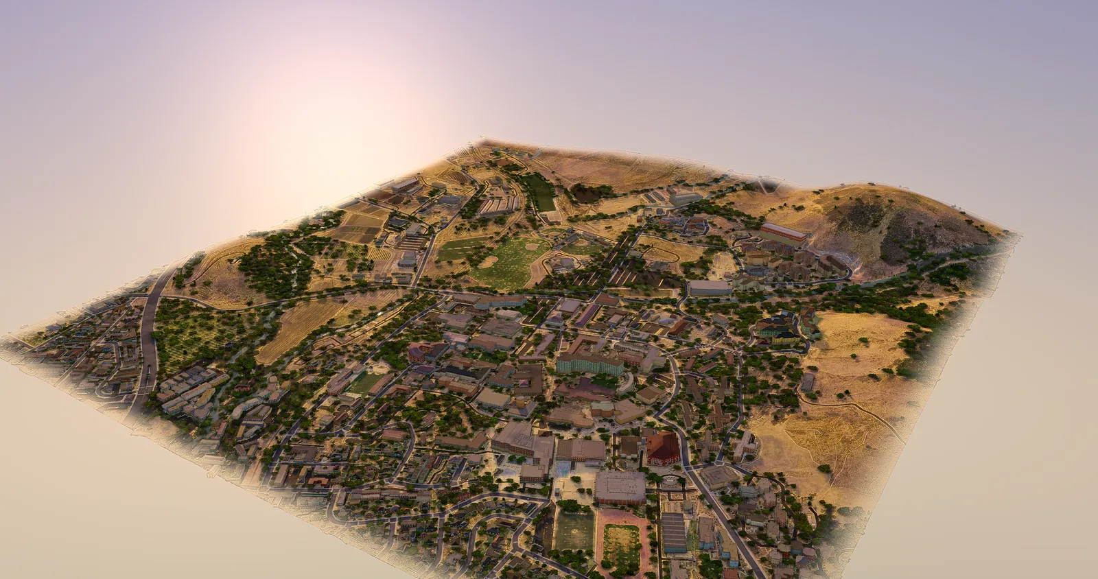
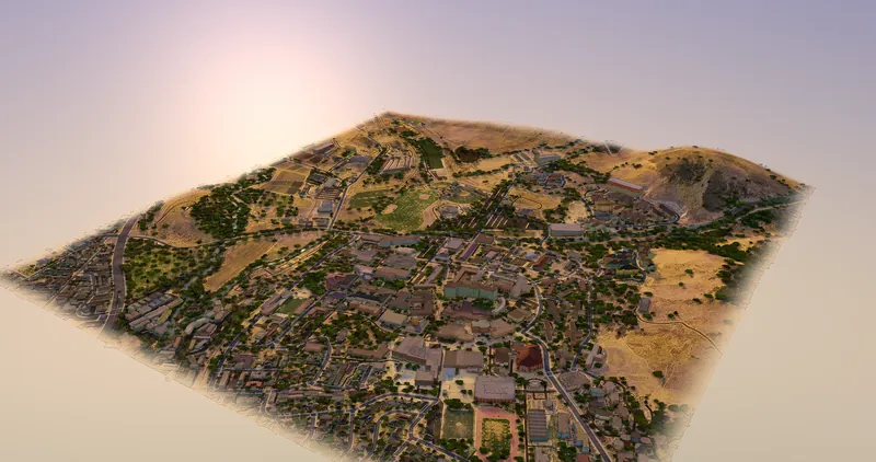
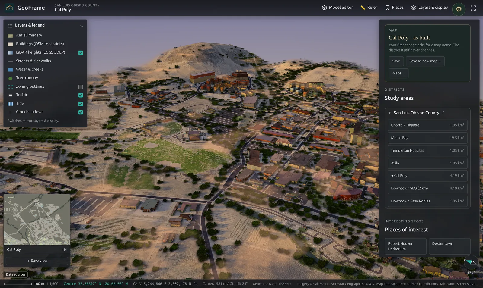
GeoFrame · Cal Poly district
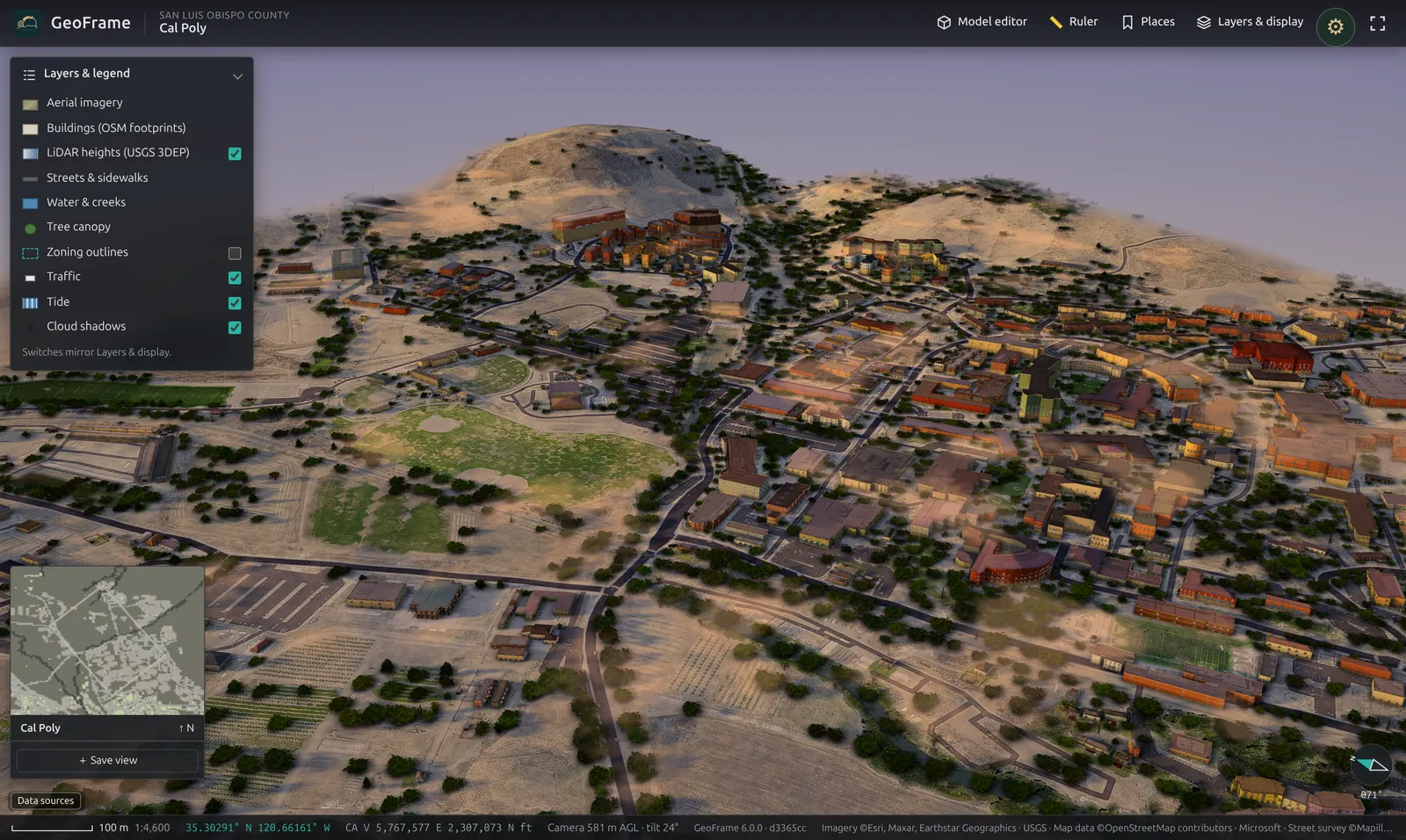
02GeoFrame builds it in 3D Your square comes back as a 3D district: LiDAR terrain, every building at its measured height, with streets, trees and water.
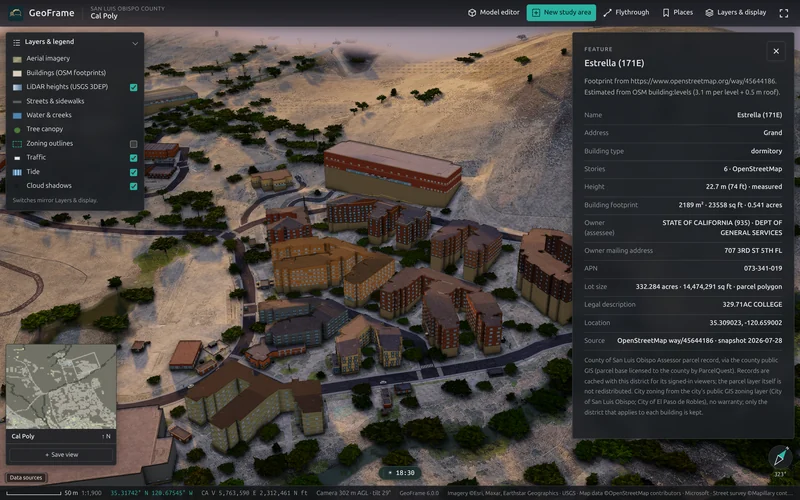
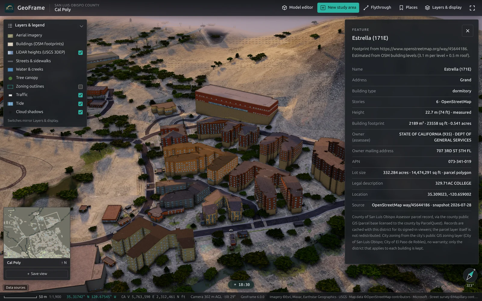
GeoFrame · Building details
03Get a ton of info about it Click any building for its measured height, stories, owner, parcel number, lot size and coordinates, with layers for zoning, traffic and tide.
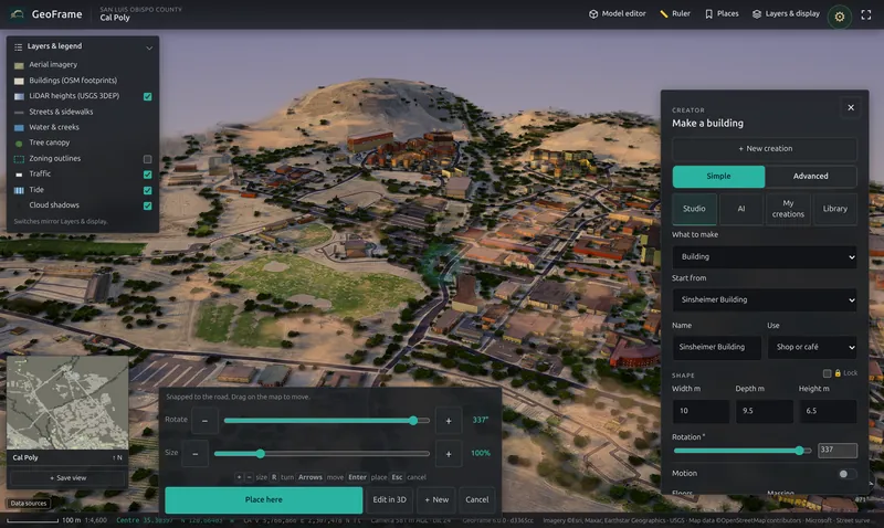
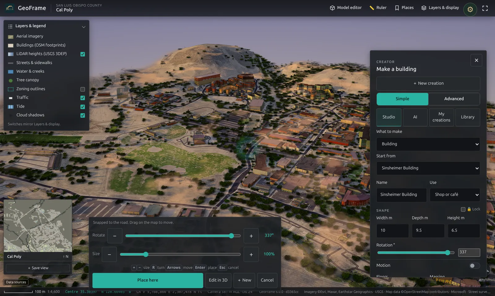
GeoFrame · Make a building
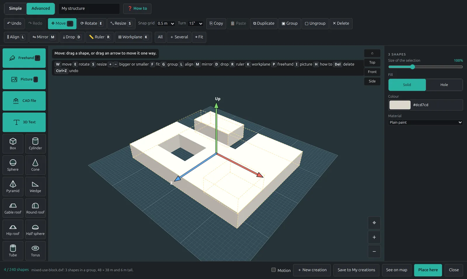
04Edit it Add or change buildings right in the district: start from one that's there, set its width, depth and height, turn it to the street and place it.
Rendered live in GeoFrame
Not a picture of a place. A model you can fly.
01 GuadalupeThe town grid at the edge of the valley farms02 Laguna LakeResidential district03 Country ClubFairways and the streets around them04 Morro BayHarbor and the rock05 CayucosNeighborhood flyover06 Central CoastHousing tract and open land07 Cal PolyAcross the campus to the hills08 Harmony ValleyThe creek road into the ranch hills09 San JoaquinBlocks and parcels10 CayucosBeach town, hillside lots11 Avila BeachThe pier, the beachfront and the village12 CambriaVillage streets along Santa Rosa Creek13 Santa MargaritaThe town grid and the foothills14 Laguna LakeLow pass over the grid15 Central CoastNeighborhood loops16 Avila BeachGolden hour on the coast17 TempletonA whole town, from above18 San JoaquinLong straight streets
18 districts, all built from open data
How it works
Three steps from a rectangle to a model you can present.
01
Draw a district
Drag a rectangle anywhere the public data reaches, 500 m to 2 km a side. GeoFrame snaps it to the street grid.
02
It builds from public data
USGS LiDAR terrain and heights, OpenStreetMap footprints and streets, aerial imagery, tree canopy, water, parcels and a street-level photo survey.
03
Study it, then share it
Place massing, import CAD, set the sun, measure, save views and share a named map with your team or the public meeting.
What you can do
Everything a site study needs, in one browser tab.
SUN & SHADOW
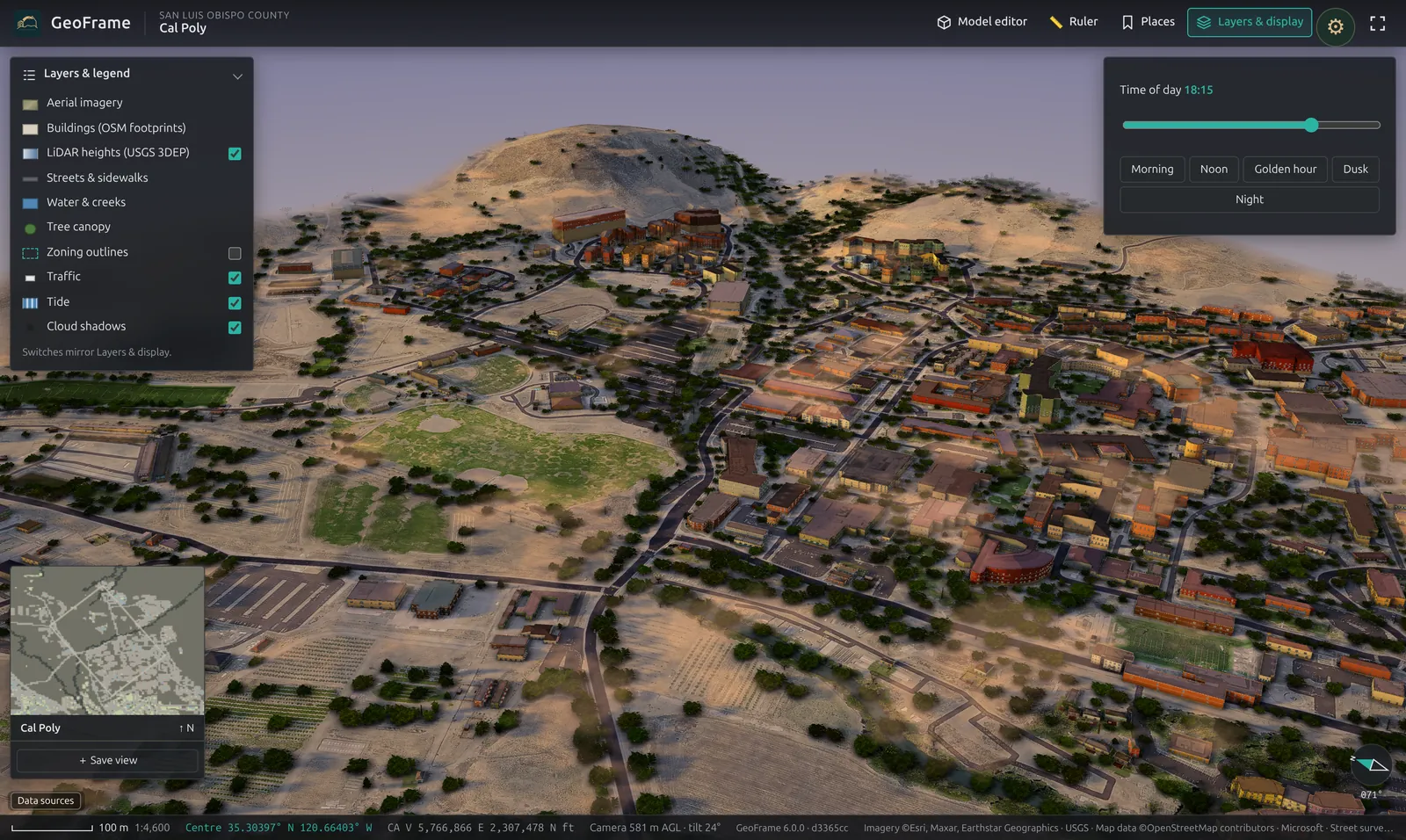
Any hour of the day
Scrub from morning to dusk and watch real shadows fall across real terrain.
CREATOR
Massing in place
Width, depth, floors and use, or the full 3D editor with roofs and snapping.
Your edits go into a named map. The district as built never changes.
PROPERTY DATA
Know every parcel
Owner of record, APN, lot size and zoning from public county records, a click on any building. See what it shows →
The Creator, in motion
Rough it out in minutes.
Creator basicsPlace, move and size a building on the lot.Freehand shapesDraw a footprint and extrude it.Work planesBuild on any face, at any height.PicturesSave a view for the report or the hearing.
Pricing
Start with Pro. Grow into a team, a city or your own server.