PRODUCTS / GEOFRAME

GeoFrame

Any real place.
Yours to build.

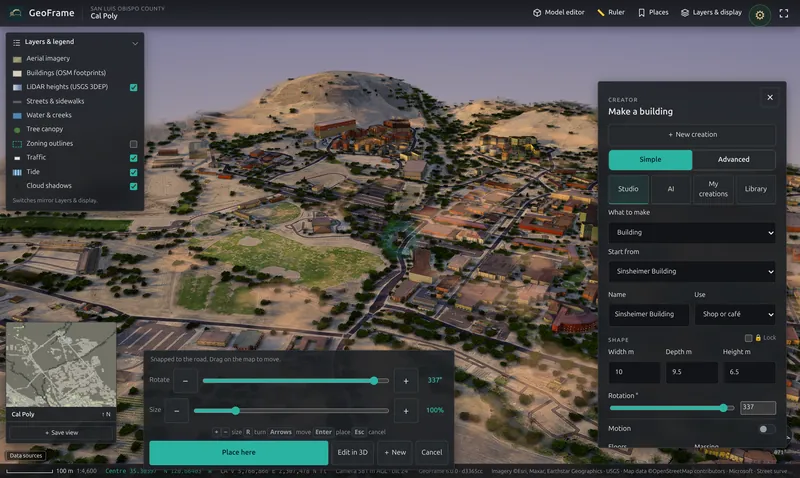
GeoFrame turns a square kilometre of the real world (its streets, building footprints, terrain and trees) into a measured 3D model you can explore, plan on and design in, straight from your browser.
1 km²per build area
LiDARterrain and heights
10CAD formats in
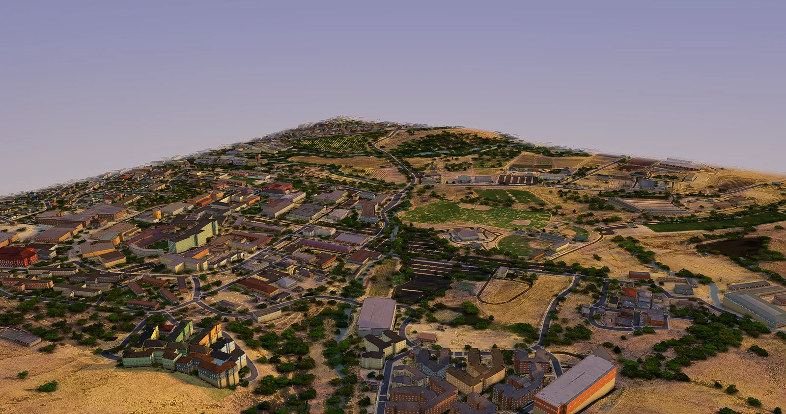
GeoFrame 3D district of the Cal Poly campus, San Luis Obispo, at golden hour
SAN LUIS OBISPO, CAIMAGERY © ESRI, MAXAR, EARTHSTAR© OPENSTREETMAP CONTRIBUTORS
OPENSTREETMAP FOOTPRINTS ◆ USGS 3DEP LIDAR ◆ TREE CANOPY ◆ STREET-LEVEL PHOTO SURVEY ◆ REAL STREET CENTRELINES ◆ ZONING ◆ PARCELS ◆ SIGHT LINES ◆ BROWSER + PHONE ◆

WHY GEOFRAME

Most 3D tools start on a blank canvas.
Your site doesn't.

Every GeoFrame district starts from the place as it stands: the corner you walk past, the plaza with the mission, the parking lot everyone complains about. On top of that sits the planning context: zoning, parcels and owners, streets and transit, so you can test massing and sight lines before a hearing.

It's what Frame Analytics does for field equipment, applied to a neighbourhood. We take real-world data, give it a working model, and keep track of what we measured and what we estimated.

THE REALITY PIPELINE

From a rectangle on a map
to a 3D model of the site.

  1. 01

    Draw

    Drag a rectangle on the map. GeoFrame fits it to the local street grid and quotes the build before you commit.

    BBOX
  2. 02

    Survey

    Footprints, streets and water from OpenStreetMap. Terrain and building heights from USGS 3DEP LiDAR, plus aerial imagery and tree canopy.

    DSM
  3. 03

    Compile

    Buildings keep their real outlines and courtyards. Facades are modelled from a street-level photo survey, and every value records where it came from.

    PACK
  4. 04

    Plan

    Open it in the browser or on a tablet. Place proposed massing, check sight lines and shadows, and share a link with your team or the public.

    3D

WHO IT'S FOR

One model.
Three ways teams use it.

01 / ARCHITECTS & DEVELOPERS

Massing in real context

Drop a proposed building onto the real block, check its height against the neighbours and export images and video for the client or the planning file.
02 / CITIES & COUNTIES

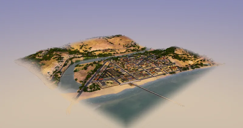
Context for hearings

Get a walkable 3D model of a neighbourhood for an infill study, a staff report or a public workshop in hours, not weeks. It's a planning tool and doesn't replace a survey.
03 / CLASSROOMS

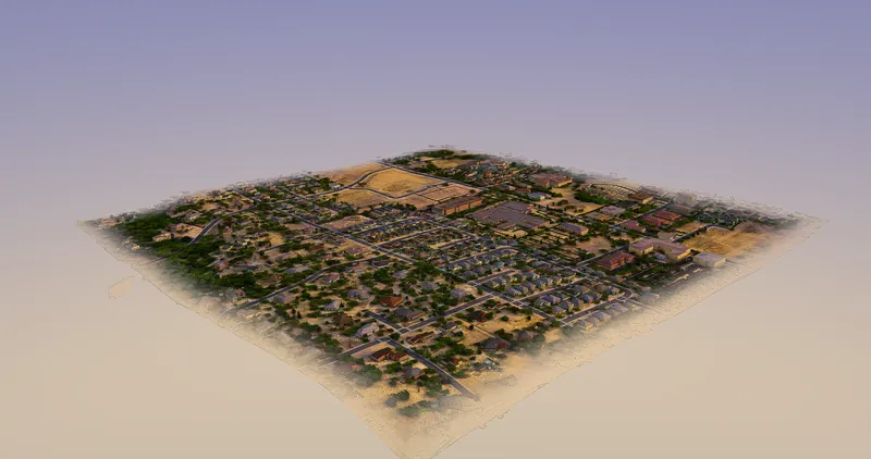
Planning studios

Students model proposals in their own town and study density, housing and transit on streets they recognise.

PRICING / PLANS FOR EVERY TEAM

Start with Pro.
Grow into a team, a city or your own server.

PRO

Pro

$79 / seat / month

or $790 per seat a year

  • Unlimited Open Data areas
  • 5 premium builds a month
  • Creator 3D editor
  • AI assistant
  • Owner lookup
  • Image and video export
  • Share links
Open GeoFrame ↗
PROJECT PASS

Project Pass

$499 / project

One-off, per project

  • One premium area around the site
  • Creator for the project team
  • Public link hosted 90 days
  • No subscription
Book a demo →
GOVERNMENT · HOSTED

Government

$6,000–$15,000 / year
  • $6,000 small city · $10,000 mid-size city · $15,000 county
  • Unlimited staff seats
  • All areas in the jurisdiction kept current
  • Public embed for the city website
  • A training session
  • 90-day pilot for $1,500, credited in full on conversion
Ask about a pilot →
ON-PREMISES

On-premises

from $12,000 / year
  • Runs on your own server
  • No data leaves your network
  • Signed offline license
  • Install and training included
Request a license →
EDUCATION

Education

Free for classes
  • Free for classes
  • $1,000 a year for a department lab
  • Creator for students and staff
Ask about education →

Extra premium builds are $15 each. Prices in USD. Pro and Team are billed through Stripe and can be cancelled any time. Government, on-premises and education plans are invoiced net 30.

WHAT WE CLAIM / WHAT WE DON'T

Real outlines
Building footprints and streets come from OpenStreetMap. Click any building to see its source.
Estimated, and labeled
Unseen roofs, rear walls and missing heights are reconstructions, and the app says so.
Not photogrammetry
GeoFrame is a credible, explorable model of a place. It isn't a survey-grade digital twin.
Attribution built in
OSM data is ODbL. Credits appear in the app on every district.

SEE YOUR SITE IN 3D

Draw a square around somewhere you know. Open it in GeoFrame.